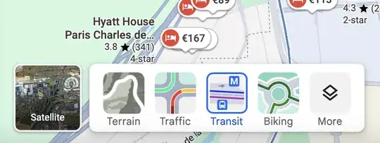
You can simply hover on the "Layers" button (bottom right of the map area) and then click on "Transit" to show transit info, but in that area that will only show the RER (and not as visible as on Citymapper).
Note that most of the hotels on your Map 1 are quite a distance from CDG, from le Bourget, and from any of the RER B stations. The RER B line seems to comes "close" to them on the map, but:
- The RER B and the hotels are on different sides of a large motorway
- There aren't any RER B stations nearby (the closest ones are the so-called "Terminal 1" station which is really in RoissyPôle, just south of Terminal 3, or in Parc des Expositions, quite further south.
It will probably take at least 30 minutes to get between CDG and any of those hotels. At some hours it will take a lot more, CDG terminal approaches can get massively gridlocked at peak times.
If you want hotels convenient to both CDG and Le Bourget you probably want to get close to an RER B station. Note that there are several shuttles to the Paris Air Show, but they don't all run every day (the CDG shuttle does not run during the week-end for instance).


