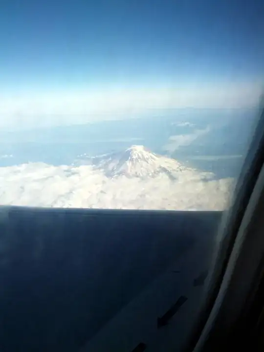
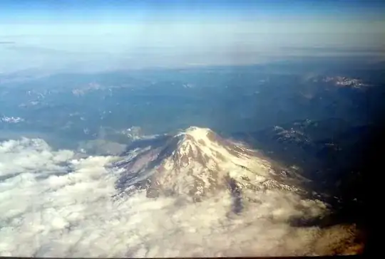
I am fairly certain that this is Mt. Adams, second-tallest mountain in Washington State. It is neither Mt. Rainier nor Mt. Baker, because both of those are heavier glaciated. The profile looks an awful lot of what I expect of Adams from the air (I climbed it a couple of times from the ground, and so have a reasonable mental picture, though of course distorted by ground-based perspective). As far as general shape goes, no other mountain in PNW area comes to mind.
Fun fact: Mt. Adams is the only volcano in Washington State with a non-technical route to the top. And because the South slope of the mountain is so moderate, once you do make it to the top, you can descend nearly three thousand feet with a series of simple sitting glissades (i.e. sliding on your butt down a chute established by many butts before you). Glissades require some experience with braking and control, but still you get to lose all that elevation in the space of ten minutes or so. It certainly makes for an exhilarating descent, and quick hike out.